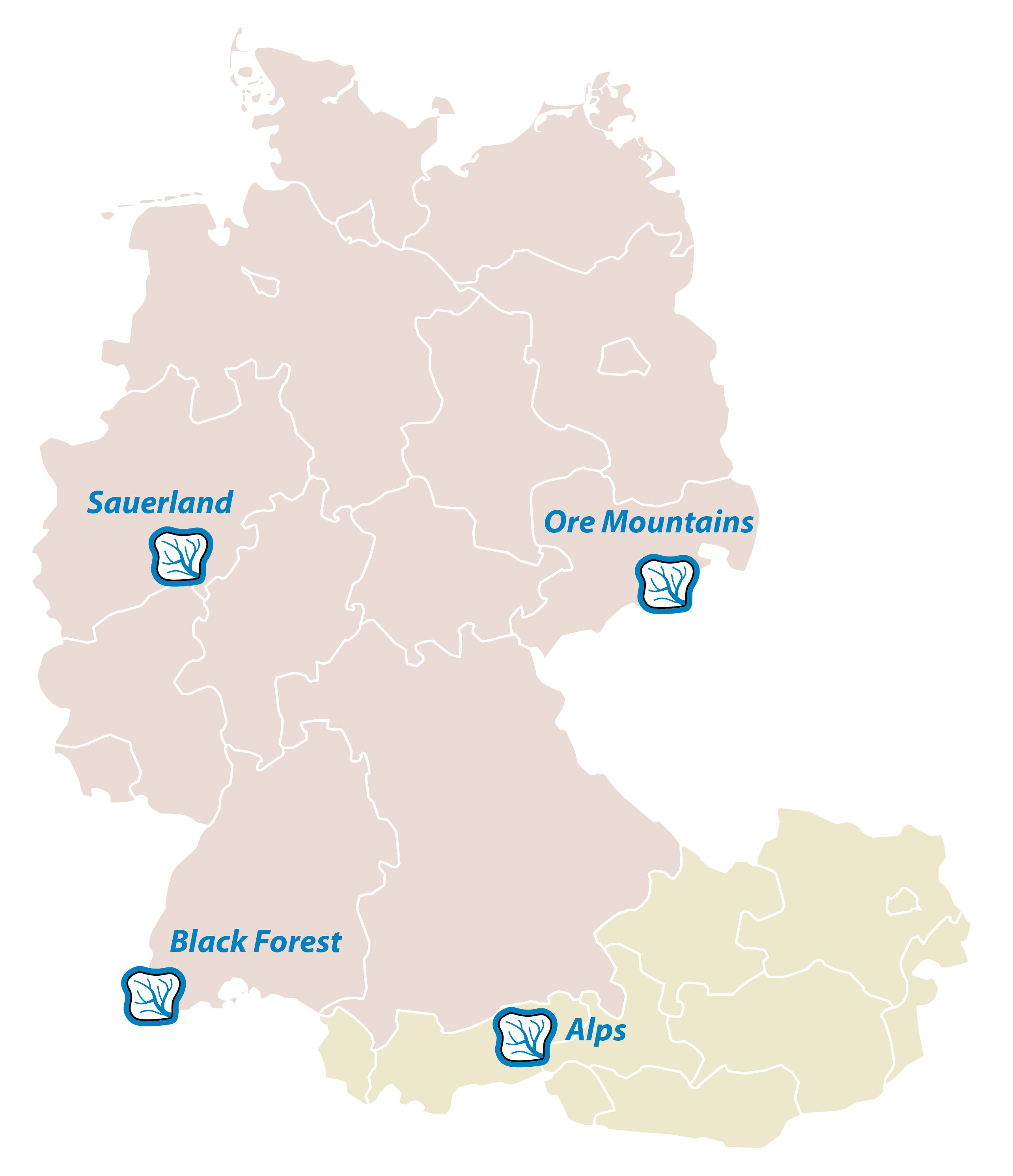
Sauerland
Sauerland The catchment Obere Brachtpe (2.6 km²; gauge Husten) is a headwater catchment of the larger catchment Hüpperhammer (47.2 km²) located in the Rhenish Massif (Germany, Province of North Rhine-Westphalia) (Fig. 1). Elevations range from 313 to 514 m a.s.l. The Hüpperhammer catchment consists of two main channels, the Rose and the Brachtpe, which jointly contribute to the Biggetal reservoir operated by the local water board Ruhrverband. Land use in both catchments is dominated by pasture, spruce stands and mixed forests. Some arable land and settlements characterize the remaining part of the catchments. Mean annual temperature is approximately 9.1°C and mean annual rainfall is approximately 1227 mm, while 15–20% of the annual precipitation comes in the form of snow. The geology is characterized by sandy silty clay shale from the Lower and Middle Devonian. Loamy Cambisols derived of periglacial slope deposits complemented by Leptosols and Stagnosols are the most prominent soils in the catchment. Periglacial cover beds are a typical example of stratified soils, almost widespread everywhere in the low mountain ranges in Central Europe and they typically consist of three layers (upper (UL), intermediate (IL) and basal layer (BL)). These layers vary in their pedo-physical and sedimentological properties due to the solifluidal formation processes integrating different material (autochthonous material, aeolian input) during the Pleistocene, when these low mountain ranges were unglaciated periglacial regions (Chifflard et al., 2008).
Black Forest – Hexental catchments
The small research catchment Rütlibach (0.21 km²; 47.9570 N, 7.8378 E; 340–585 m a.s.l.) is nested in the catchment Dorfbach, which drains to the Mühlenbach and is located at the western border of the Black Forest south of Freiburg, Germany, in the Hexental. The parallel draining Eberbach (1.5 km²: 300–640 m a.s.l.) just south of the Rütlibach is the larger brother of the Rütlibach, also draining in the Dorfbach. All catchments provide a nested set-up within the Dorfbach, draining an area of 12.4 km² (Figures 2 and 3). The geology is crystalline bedrock overlain by periglacial drift cover. The periglacial drift cover evolved from a combination of solifluction, cryoturbation and aeolian processes. Since different layers of periglacial drift cover may act as vertical barrier to percolation they are highly important for perched water table development and subsurface stormflow. Stratigraphically, periglacial drift cover is comprised of three lithologic units: basal layer, intermediate layer, and upper layer (Heller & Kleber 2016). The basal layer is characterized by compaction, high bulk density and slope-parallel alignment of clasts; the coarse fraction in the intermediate layer displays finer-sized clasts of varying orientation; the upper layer is the finest textured lithologic unit and has lowest bulk density. Lateral subsurface flow in the periglacial drift cover was observed to occur at the basal layer – intermediate layer interface, but also at the intermediate layer – upper layer interface. Cambisols have developed in the periglacial drift cover and the soil texture is dominated by sandy loam. Along the stream, gleysols and colluvium can be found. The catchment is dominated by forests in the upper part and grassland in the lower part. The width of the riparian zone is varying from a few meters to 20–30 m. The climate is warm temperate (“Cfb” Koeppen classification). Mean annual precipitation and temperature are 970 mm and 11°C, respectively (time period 2007–2011). Mean monthly rainfall and evaporation is highest in the summer months May until July, when convective storms dominate.
Alps - Padaster Valley
The Padasterbach catchment is located in the Tux Prealps/Tyrol/Austria. It is an orographic right-hand tributary to the river Sill (Wipp valley) in the municipality of Steinach at an altitude of 1,060 m (Figure 4). It is about 6 km long and the catchment area is about 11.2 km². The Schafseitenspitze peak with an elevation of 2,602 m is the highest point of the valley. The lower parts of the valley are covered by montane spruce forests. Along the brook spruce is replaced by alpine pastures. The pastures are followed by an alpine dwarf shrub belt. From a geological point of view, the Padasterbach catchment belongs to the zone of metamorphic rocks of the Central Alps.
Ore Mountains - Freiberger Mulde
The upper Freiberger Mulde catchment (77 km², gauge Mulda 1) is located in the Eastern Ore Mountains, Saxony, and has an elevation between 446 and 850 m a.s.l. (Fig. 5). Mean annual precipitation is around 930 mm, the mean temperature is 6.6 °C. The basin is characterized by plateaus and sharply incised valleys. Land use is dominated by spruce forest (50%), pasture (25%) and cropland (20%). Preponderant bedrock is gneiss and phyllite overlain by periglacial cover beds, which are characterized by different sedimentological and pedo-physical properties. Within the Freiberger Mulde catchment detailed studies have been carried out in the smaller study site “Mulda” (Fig. 5), which is a completely forested spring catchment (0.06 km²) with an elevation of 521–575 m a.s.l. The watershed is shaped as a slope depression with a mean slope angle of approximately 7°, which drains into a perennial spring (50° 47′49′′ N and 13° 26′32′′ E). The bedrock is biotite gneiss, which is overlain by periglacial cover beds comprising an upper layer (UL), occasionally an intermediate layer (IL), and a basal layer (BL). The local biotite gneiss is poorly jointed with a principally disconnected aquifer. The prevailing soil types are Stagno-Gleyic Cambisols and Dystric Cambisols (Heller & Kleber 2016)