Earthshape 2 Estimation of the direct and indirect sediment transport along a climate gradient in Chile [funded by DFG]
Project staff:
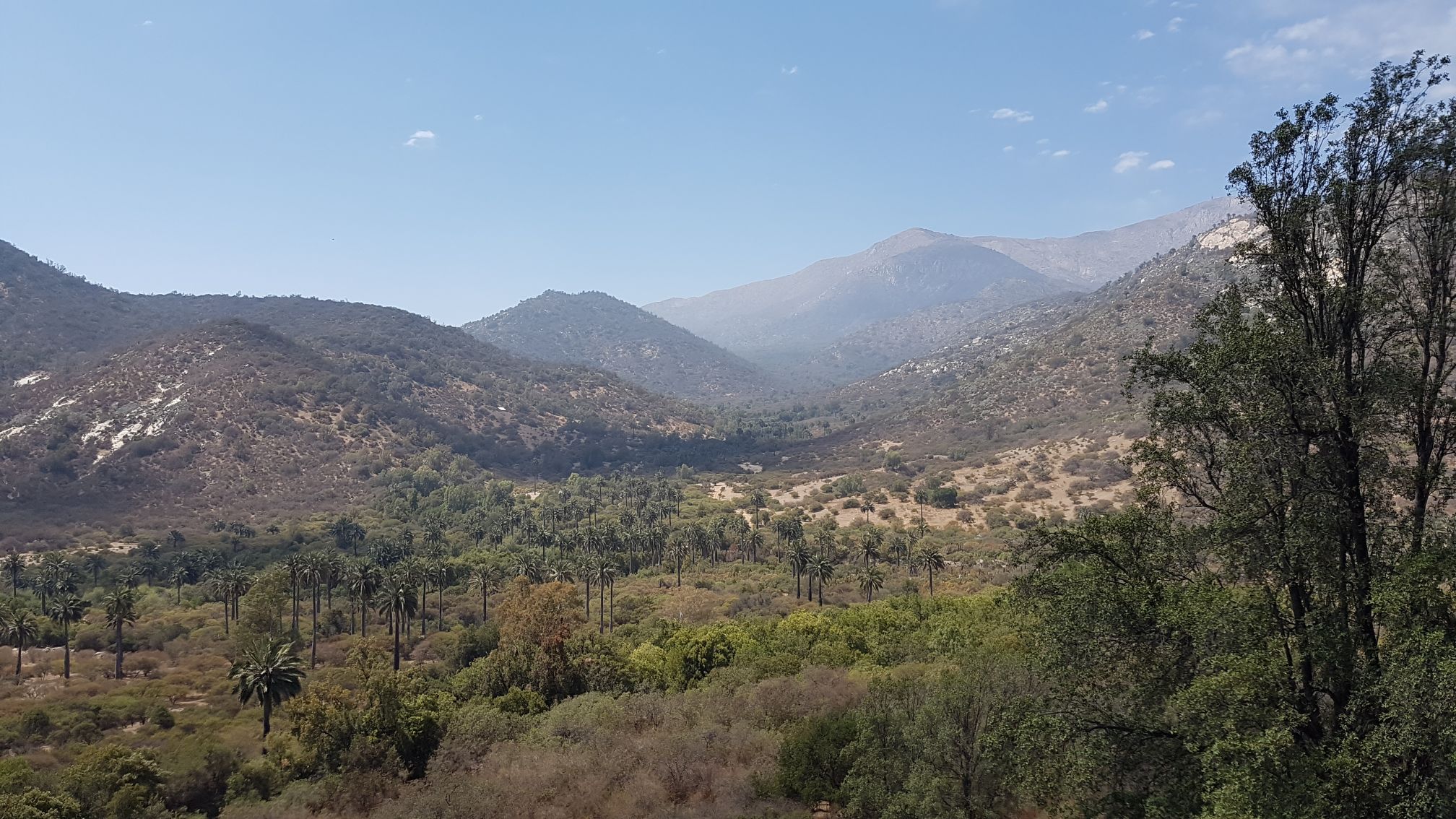
Abstract:
Ground-dwelling animals act as ecosystem engineers that affect the structure and composition of the vegetation and thereby also ecosystem processes like soil formation, soil erosion, decomposition and carbon storage. Bioturbation has also links to the vertical and horizontal redistribution of solid and soluble particles in landscapes and increases the patchiness of water and nutrient availability with consequences for plant assemblages and for soil organisms. However, most published studies on bioturbation have a local perspective and comprehensive, spatially explicit analyses of the influence of ground-dwelling organisms on rates of sediment and nutrient redistribution in the weathering zone and on hill slopes covering a broad climatic gradient are lacking. We thus aim to i) estimate the spatial distribution, abundance and functional type of the bioturbators in the EarthShape primary focus areas and along its climate gradient, ii) quantify the vegetation along this gradient and determine its relation to distribution and abundance of burrowing animals, iii) quantify effects of bioturbators on soil, nutrients and sediment redistribution, and iv) derive catchment-wide redistribution and erosion rates of the effects of bioturbators by using remote sensing and modelling techniques based on plot-derived transfer functions between climate, vegetation and abundance of species.
Description:
Working Packages
WP1: A main hypothesis is that a
vegetation change, which is visible aboveground, even from space, indicates the activity of
burrowing animals, which is expected to be related with vertical and horizontal matter and nutrient
redistribution rates. Besides vegetation, also bare soil pixels can contribute to the distinction
between bioturbation-active and -passive areas. This is due to the overburden in active areas that
has been shown to be spectrally different from the soil surface, due to its different content of
organic matter and macro-nutrients (e.g. Ben-Dor et al. 2009, Anne et al. 2014).
WorldView data with a very high resolution (PAN: 0.31 cm, Multispectral: 1.24 m Nadir) are
acquired for all four catchments before and directly after the foggy/rainy season, warranting that
the climatic variability of vegetation cover is captured properly. The data will be corrected
(atmospheric and topographic correction; Curatola Fernández et al. 2015), the latter using the
LiDAR high resolution digital elevation models (DEM) available from the central project and others
(Hofmann et al. I, etc.). The multispectral data are pansharpened to the high resolution of the PAN
band to also capture small structures such as mounds in the field (for the method the reader may
refer to Schulz et al. 2012, 2016). Based on the training data in WP2.2 (endmember spectra and
UAV/plot surveys) we will classify different land cover types occurring in the four catchments (rock,
bare soil, overburden, water, BSC, Cacti, herbaceous, shrubs, geophytes, palms, trees; if
necessary we will refine these rough cover types according to the results of WP2). This is done
with the probability-guided unmixing (PGU) technique (Curatola Fernández et al. 2013) based on
field-derived endmember spectra and plot surveys (WP2.2). Additional, vegetation and other
relevant indices included in the developed R-package “hsdar1
” (Lehnert et al. 2014) will be used for
the classification. Furthermore, the form of individual plants/plant groups might be an important hint
to dweller-related vegetation. Thus, we will also include form indices into the classification. This
step needs a prior entity-based classification of plant individuals where we will use the seeded
region growing approach to delineate plant/plant group entities and then calculate various form
indices (area, perimeter, compactness, circularity, elongatedness, circularity ratio, ellipticity index
and shape factor) for every entity as additional predictor variables (for methodology of entity based
classifications and form indices refer to Bendix et al. 2009 and Silva et al. 2014). The PGU soft
classification technique gives the percentage cover of the landcover class per pixel. The accuracy
assessment will be conducted with plot surveys not used in the classification. If the performance of
the PGU will be not satisfactory, we will apply SVM regression to derive coverage, which has been
proven to be of superior accuracy in comparison to simple linear unmixing methods (Lehnert et al.
2015). The final grid resolution of the upscaling approach to the catchment will be 20 m. To
consider topography in the upscaling approach, the high resolution LiDAR DEM is used to extract
e.g. slope, exposition and the topographic position index (TPI; Obregon et al. 2014) per pixel at the
upscaling pixel resolution (mean and sd). Climate data (fog water deposition, rain) are provided by
project Crustweathering II (fog water deposition) and by the topographical regionalization of the
central and Crustweaterhing II project’s AWS data. Partial least square regression (PLSR) will be
used to related the plot information (dependent variable) on (i) No of mounds (ii) excavation
volume and rate, (iii) chemical redistribution rates and (iv) erosion rate to a set of generated
predictor variables (fog, rain, elevation, slope, aspect, TPI, percentage cover of the land surface
classes, spectral vegetation and other indices) where the most important predictors will be
assessed by feature selection techniques an accuracy will be estimated by the LOO (Leaf-one-out)
method (Wallis et al. 2016, 2017). Uspcaling to the catchment is realized by applying the PLSR
models developed for the training plots to the catchment area by aggregating the WordView and
LiDAR derived topograpical predictors to the 20 m x 20 m grid. The workflow to relate results of the
activity of vertebrate bioturbators, the availability of macronutrients as well as vegetation and
bioturbation patterns to remotely sensed indicators is generalized in Fig. 3. The spatially explicit
quantification of vertical sediment flux from bioturbation will be used to modify the K-factor of the
soil erosion model (WP4.2).
WP2: We developed, tested and applied a cost-effective Time-Of-flight camera to autonomously monitor the rainfall-driven and animal-driven sediment redistribution in areas affected by burrowing animals with high temporal (four times a day) and spatial (6 mm) resolution. For this, we equipped several plots in remote study sites of Chile in the arid and mediterranean climate zone. We selected these sites in order to analyse sediment redistribution by burrowing activity of vertebrates under different rainfall regimes and as these sites were particularly shown to be strongly affected by burrowing activity. Then, we quantified the daily sediment redistribution within areas affected and not affected by burrowing animals. We analysed the impacts of animal burrowing activity and rainfall on the sediment redistribution and quantified the volume of sediment which is additionally incorporated to the hillslope sediment flux due to presence of burrows. Finally, we estimated sediment redistribution on a burrow scale and upscaled sediment redistribution rates to the entire hillslopes.
WP3:The spatially explicit model of bioturbation area and intensity will be combined with the results from rainfall experiments and statistical models regarding the relative importance of hillslope gradient and vegetation. This combination will allow us to adjust the K-value of the Revised Universal Soil Loss Equation on a pixel scale with regards to the specific influence of bioturbation in the variable environmental conditions within the focal areas. We will also deliver a highly accurate estimation of vegetation cover, which will be used to adjust the Cvalue. The modified C-and K-value will be used in combination with i) high-resolution digital elevation models (derived from airborne LiDAR in cooperation with EarthShape projects Hofmann et al. I, Hofmann et al. II, the EarthShape platform) and erosion-plot scale structure-from-motion, ii) existing vegetation survey data on a limited number of plots (EarthShape project Bader et al. I, P1 and WP1), and iii) already established detailed soil erosion measurements throughout the research catchments (EarthShape Wagner et al. I, II) to model soil loss with and without animal mounds using the well established soil erosion model WATEM/SEDEM) including different rainfall scenarios. The model will be validated using the sediment transport and export quantified in the erosion subplots.
Publications and poster presentations:
2023 - Grigusova, P.; Larsen, A.; Brandl, R.; del Ro, C.; Farwig, N.; Kraus, D.; Paulino, L.; Pliscoff, P. & Bendix, J. (2023): Mammalian bioturbation amplifies rates of both, hillslope sediment erosion and accumulation, in coastal Chile. EGUsphere 2023, 1--44.
- Grigusova, P.; Larsen, A.; Brandl, R.; del Ro, C.; Farwig, N.; Kraus, D.; Paulino, L.; Pliscoff, P. & Bendix, J. (2023): Mammalian bioturbation amplifies rates of both hillslope sediment erosion and accumulation along the Chilean climate gradient. Biogeosciences 20(15), 3367--3394.
2022 - Grigusova, P.; Larsen, A.; Achilles, S.; Brandl, R.; del Ro, C.; Farwig, N.; Kraus, D.; Paulino, L.; Pliscoff, P.; Übernickel, K. & Bendix, J. (2022): Higher sediment redistribution rates related to burrowing animals than previously assumed as revealed by time-of-flight-based monitoring. Earth Surface Dynamics 10(6), 1273--1301.
- Kraus, D.; Brandl, R.; Achilles, S.; Bendix, J.; Grigusova, P.; Larsen, A.; Pliscoff, P.; Übernickel, K. & Farwig, N. (2022): Vegetation and vertebrate abundance as drivers of bioturbation patterns along a climate gradient. PLOS ONE 17(3), 1-14.
2021 - Grigusova, P.; Larsen, A.; Achilles, S.; Klug, A.; Fischer, R.; Kraus, D.; Übernickel, K.; Paulino, L.; Pliscoff, P.; Brandl, R.; Farwig, N. & Bendix, J. (2021): Area-Wide Prediction of Vertebrate and Invertebrate Hole Density and Depth across a Climate Gradient in Chile Based on UAV and Machine Learning. Drones 5(3), -.
Datasets:
- Soil properties along Chilean climate gradient by Grigusova, P. (2023)
- Modelled sediment redistribution across climate gradient by Grigusova, P. (2023)
- Land cover classification La Campana - Chile by Klug, A. (2022)
- Land cover classification Santa Gracia - Chile by Klug, A. (2022)
- Orthophotos of UAV-images along a climate gradient in Chile by Grigusova, P. (2021)
- Prediction of the indicators of the vertebrate burrowing activity along the climate gradient by Grigusova, P. (2021)
- Prediction of the indicators of the invertebrate burrowing activity along the climate gradient by Grigusova, P. (2021)
- Land cover classification of UAV-images along a climate gradient in Chile by Grigusova, P. (2021)
