X2 Radar Network Ecuador - Peru [funded by DFG]
PI(s) for this project:
Abstract:
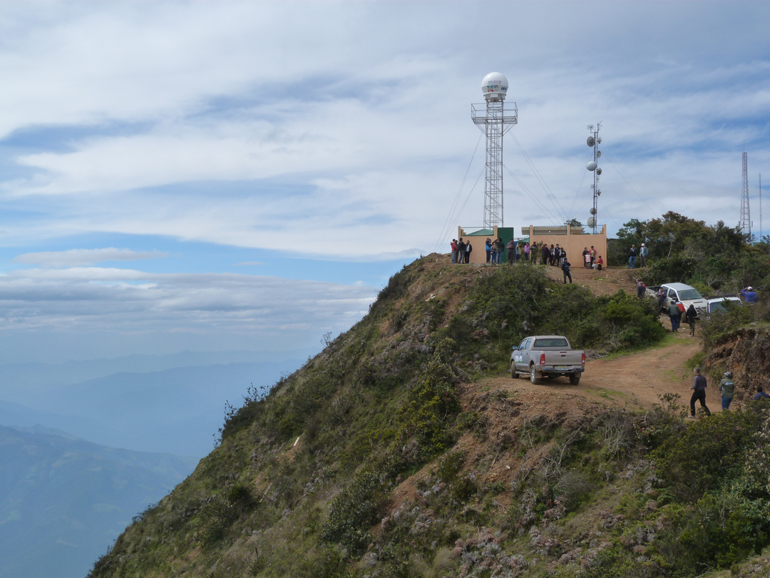
 The aim of RadarNetPlus is the observation and analysis of regional precipitation extremes and the associated atmospheric dynamics of circulation in the meteorologically complex transition zone from the coastal plains of southern Ecuador and northern Peru across the Andes to the eastern foot zone of the mountains. A longer time series from 2014 to 2020 of the weather radar systems of RadarNetSur allows to identify and explain relevant spatio-temporal patterns like persistent, transient end episodic cycles. The diurnal cycle is shaped by small-scale local circulation systems like the mountain-valley-, the land-sea-breeze or the confluence of synoptical flows and katabatic winds. They lead to a characteristic pattern of precipitation genesis, which cannot be registered by point observations. In Radar imagery they show up in detail and their spatial distribution will be visible. This enables to understand the high heterogeneity of the diurnal cycle and the occurrence of extremes as dependent on the topography.