Delineating the mountain cloud forest of Taiwan by means of topographic cloud immersion with moderate resolution satellite data and ground based observations [funded by DFG] - Status: closed
Project staff:
Prof. Dr. Jörg Bendix
Dr. Boris Thies
Abstract:
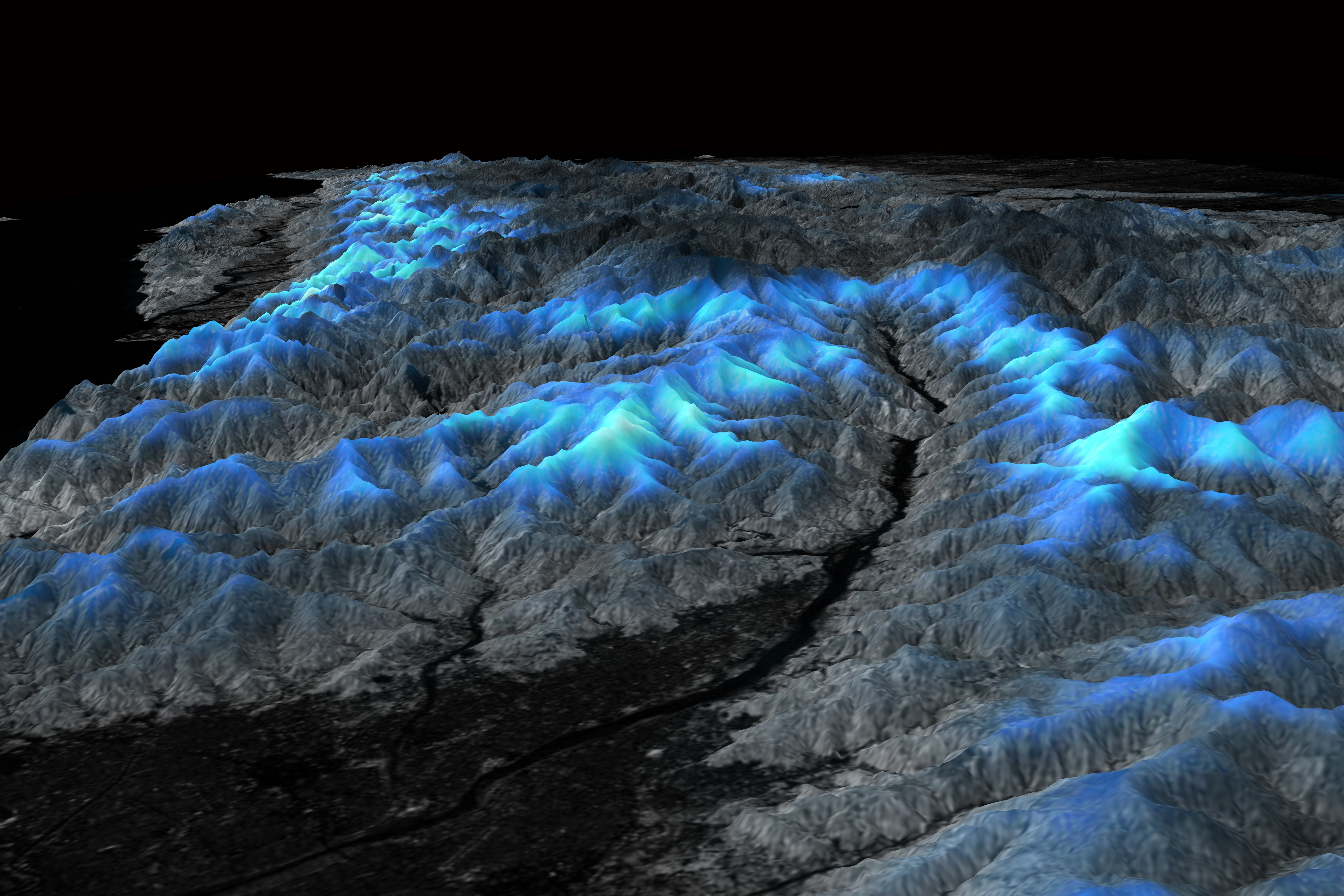 Mountain cloud forests (MCF), which directly depend on frequent cloud immersion, are very important habitats with regard to biodiversity and ecosystem services as e.g. water supply. At the same time, they are especially threatened by Global Change. This also holds for Taiwan where to date, almost no information on the spatial distribution of MCF is available. This (also global) lack of information is mainly due to missing spatio-temporal data on mountain cloud immersion. Based on the recommendations of the UNEP cloud forest agenda, the current project aims on developing a methodology to delineate cloud immersion and cloud forest of Taiwan in high spatial resolution. This will be conducted by combining satellite data exploitation based on different sensors (German counterpart) with on-site observations of cloud geometrical, optical and microphysical properties as well as transect surveys (Taiwanese counterpart). The result will be maps of the potential and current extension of MCF in Taiwan.
Publications and poster presentations:
2017 - Schulz, M.; Li, C.; Thies, B.; Chang, S. & Bendix, J. (2017): Mapping the montane cloud forest of Taiwan using 12 year MODIS-derived ground fog frequency data. PLOS ONE 12(2), 1-17.
- Schulz, M. (2017): Delineating the montane cloud forest of Taiwan LCRS, phd thesis
2016 - Schulz, M.; Thies, B.; Chang, S. & Bendix, J. (2016): Detection of ground fog in mountainous areas from MODIS (Collection 051) daytime data using a statistical approach. Atmospheric Measurement Techniques 9, 1135 - 1152.
2015 - Thies, B.; Groos, A.; Schulz, M.; Li, C.; Chang, S. & Bendix, J. (2015): Frequency of low clouds in Taiwan retrieved from MODIS data and its relation to cloud forest occurrence. Remote Sensing 7, 12986-13004.
2014 - Schulz, M.; Thies, B.; Chang, S. & Bendix, J. (2014): Automatic cloud top height determination in mountainous areas using a cost-effective time-lapse camera system . Atmospheric Measurement Techniques 7, 4185 - 4201.
Datasets:
- Daily masks of ground fog in the taiwanese mountains (2002 - 2014) by Schulz, M. (2017)
- Taiwan Landsat 7 ETM+ Mosaic by Schulz, M. (2017)
- Map of montane cloud forest in Taiwan by Schulz, M. (2016)
- Yearly low stratus and ground fog frequency maps of Taiwan (2003-2012) by Groos, A.; Thies, B. & Schulz, M. (2016)
- Presence and absence of montane cloud forest in Taiwan by Li, C. (2016)
- Monthly ground fog frequency maps for Taiwan (2003-2014). by Schulz, M. (2016)
