Marburg Satellite Station (MSS)
Project staff:
Dipl. Inf. (FH) Maik Dobbermann
Description:
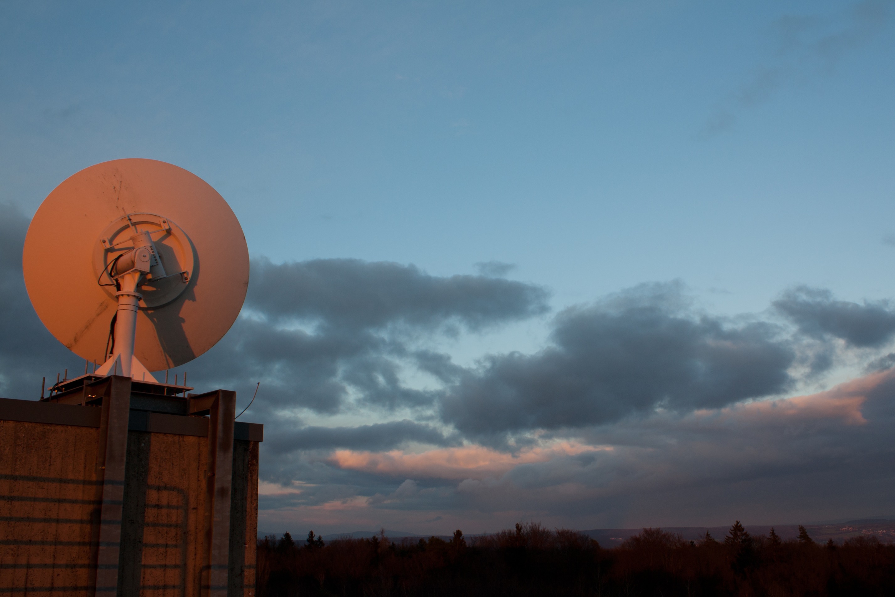
One major goal of the LCRS is the development of rainfall retrieval and fog detection techniques based on satellite data, applicable to climatological studies. In this context, the MSS forms the ground segment for the reception of high resolution satellite data. The main receiving stations are located in Marburg and ingest data from various sensors:
NOAA-AVHRR, MSG-SEVIRI, TERRA/AQUA MODIS, METOP and GOES.
The received data is operationally processed and archived. Together with the retrieved products this data is used for a wide range of applications in meteorological and environmental sciences.
Selected satellite imagery
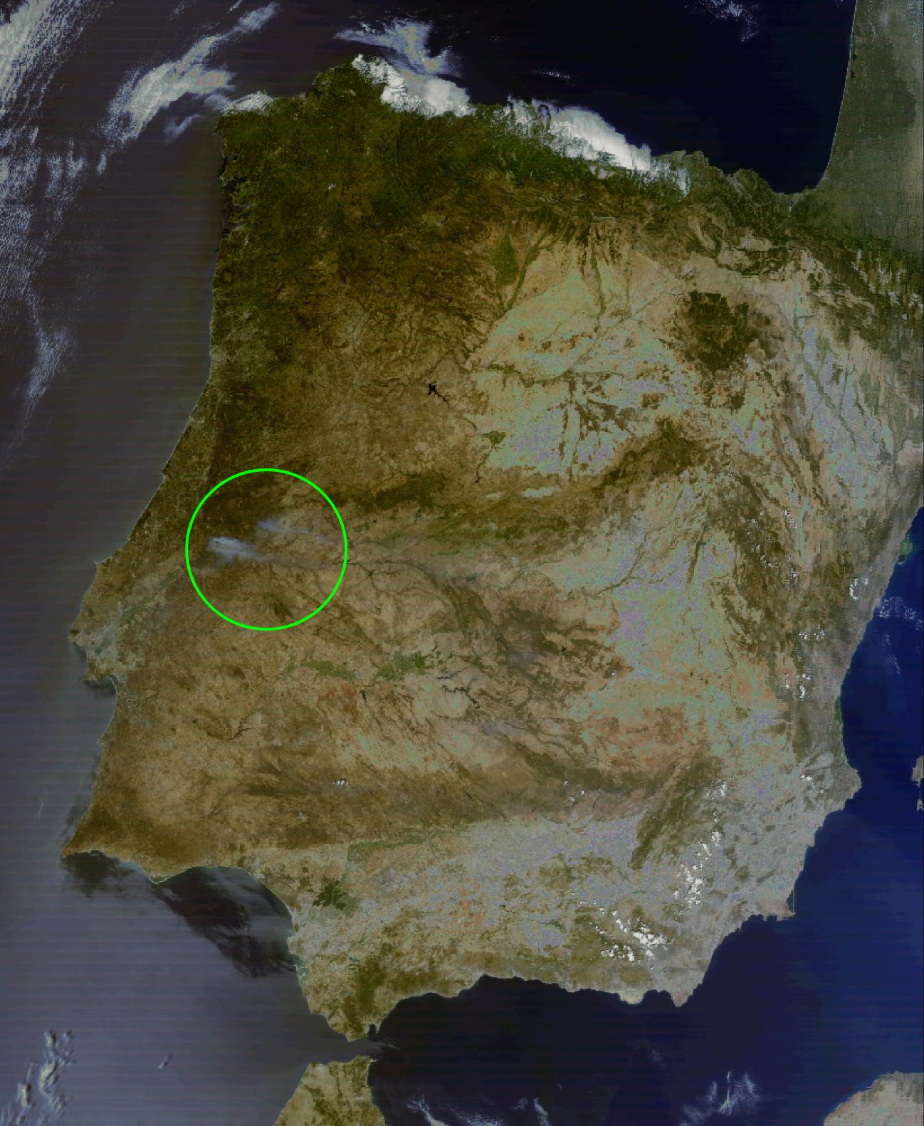
False color MODIS image showing Spain and the fires in Portugal. 31.07.2003, 13:35.
Video of Hurricane Isabel, 2003

Last 24h of meteosat second generation video:
vhrz669.hrz.uni-marburg.de/static/html/tv/video/meteosat/video.mp4
